Substation view: drone photo on the left, simulated thermal on the right, hot spot marked.
Photo by Ghost writ0r, via Wikimedia Commons, licensed CC BY 4.0. Colour graded and thermal view added.
Turnaround
24 to 72 hrs
Emergency callout
Rapid deploy
Sensors
RGB, thermal, zoom
Access
No shutdown required
Trusted across
Construction & development
Energy & industrial
Telecom
Utilities
Facilities & property
Public safety
Core services
8 ways we put a sensor where people should not have to go
Every job starts with one question: what do you need to see? We plan the flight around the answer.
01
Construction progress monitoring
Regular flights give owners, contractors and lenders a consistent record of the site. Measure earthwork, verify progress and compare against the schedule.
Weekly or monthly capture cadence
Orthomosaic, point cloud and site model
Progress documentation for claims and disputes
02
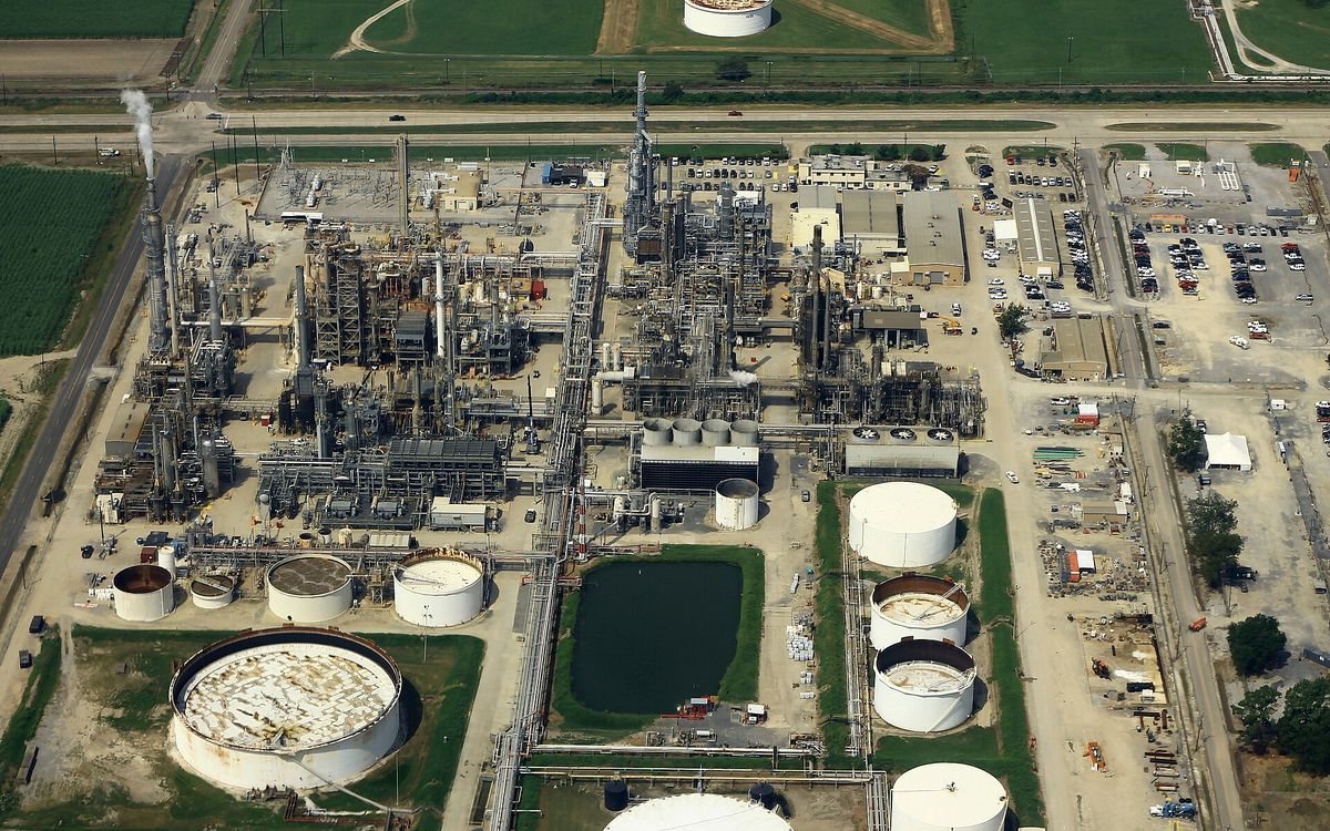
Industrial inspections
Stacks, tanks, flares and process structures inspected while the plant keeps running. Find corrosion, leaks and heat anomalies without scaffolding or a shutdown.
Confined and elevated asset coverage
Radiometric thermal for hot spot detection
Fewer permits, less time at height
03
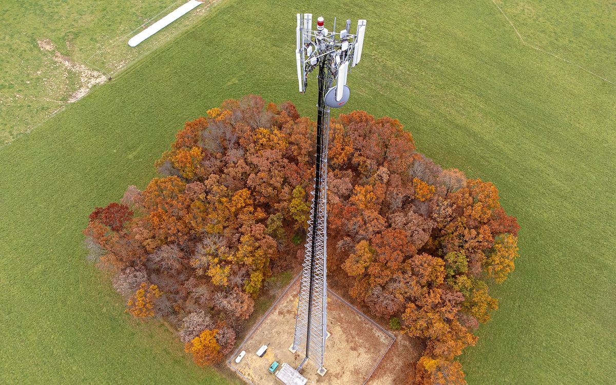
Cell tower inspections
Structural and equipment capture on monopoles, self-supports, guyed and rooftop sites, delivered as the photo sets carriers expect for audits and close-outs.
Structural, equipment and mount photo sets
Azimuth, tilt and RAD center documentation
Pre-climb assessment that keeps crews grounded
04
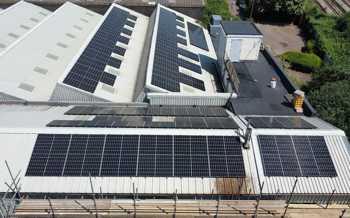
Commercial roof inspections
Membranes, flashing, ponding and storm damage surveyed in a fraction of the time a walk takes. Thermal scans find trapped moisture so repairs go where they are needed.
High-resolution condition survey and roof map
Thermal moisture scan of the assembly
Insurance and warranty claim documentation
05
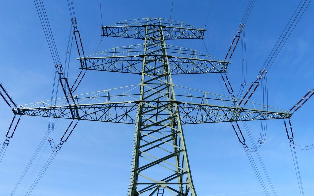
Utility inspections
Lines, poles, substations, solar and wind. Zoom and thermal imaging catch failing connections, damage and vegetation encroachment before they cause outages.
Corridor and right-of-way patrol
Thermal fault detection on connections and cells
Vegetation management support
06
Infrastructure inspections
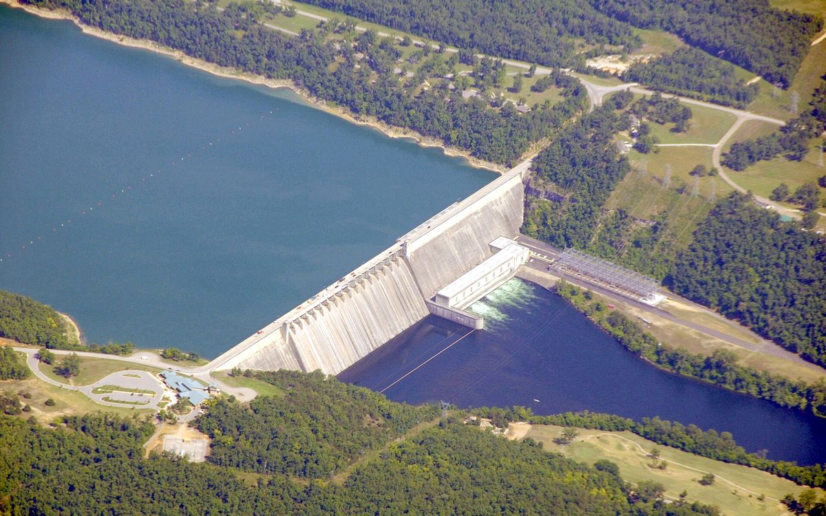
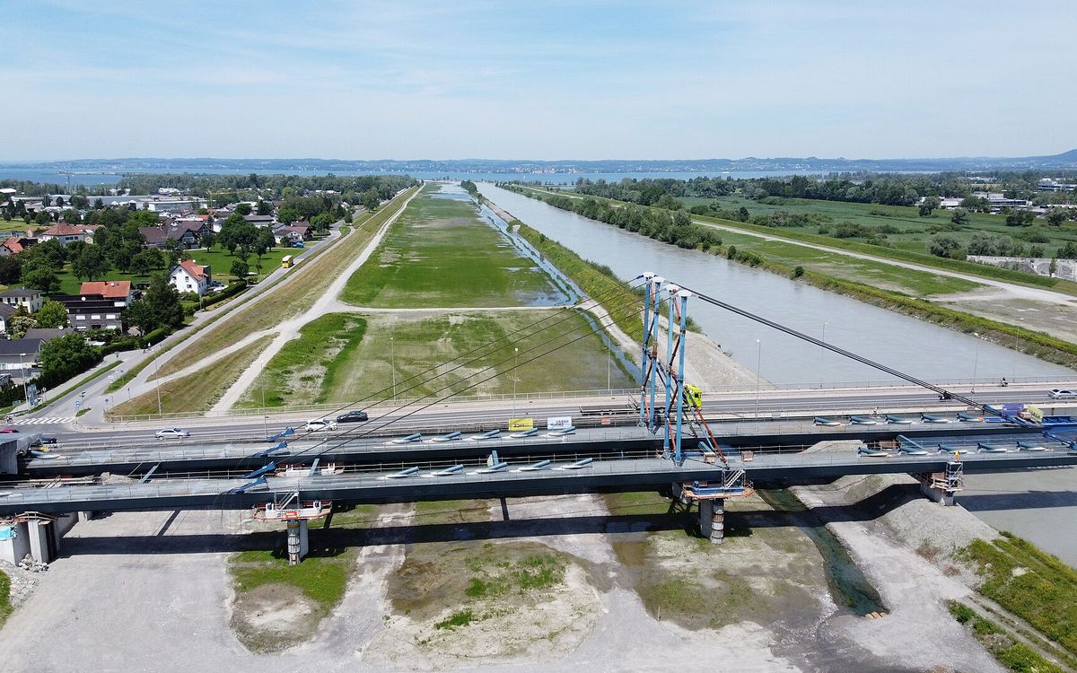
Bridges, dams, culverts, roads and rail. Reach spans and embankments without lane closures or access equipment, and build a repeatable baseline.
Structural condition capture and defect mapping
Repeatable baselines for trend analysis
Fewer closures, less traffic control
07
Public safety support
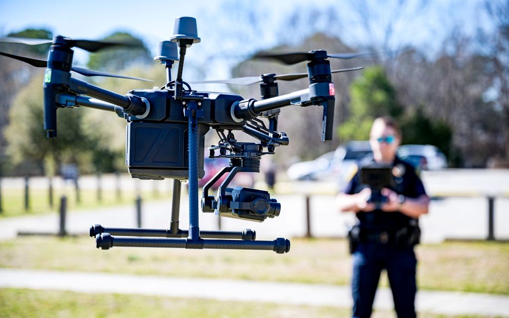
Live aerial video for agencies and event operators: crowds, perimeters and search areas, working within your command structure.
Live downlink to incident command
Event, crowd and perimeter overwatch
Search support and scene documentation
08
Emergency response support
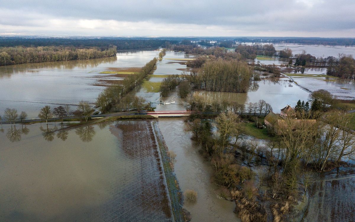
Fast deployment for floods, storms, fires and collapses, with usable imagery while the response is still underway.
Rapid deployment for active incidents
Damage assessment and extent mapping
Thermal scanning for hot spots and persons
The aircraft
One flight, three kinds of evidence
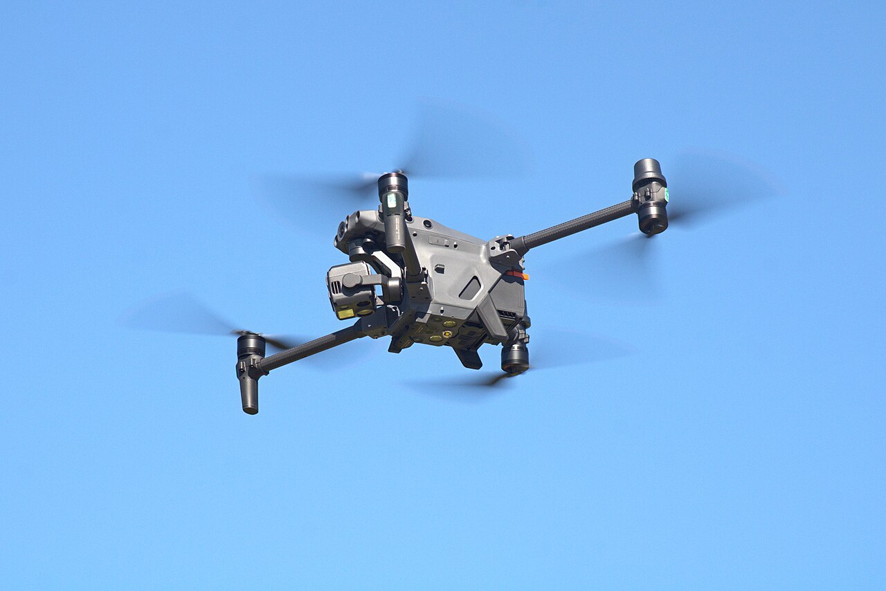
Our Matrice 30T class platform carries thermal, wide and zoom cameras and a laser rangefinder on one gimbal. One pass captures images, temperature and measurements together.
Radiometric thermal imaging
Wide and high-zoom optical cameras
Laser rangefinder for distance and position
Obstacle sensing around the aircraft
Weather-sealed for rain, wind and cold
Folds down for rapid redeploy between sites
DJI MATRICE 30T
Matrice 30T class inspection platform.
Photo by ZLEA, via Wikimedia Commons, licensed CC BY-SA 4.0.
How an engagement runs
Planned like an operation, not a photo shoot
1
Scope and airspace
We agree on assets, sensors and deliverables, then handle airspace approvals and the safety plan.
2
Flight operations
A certified pilot flies the mission. Automated flight paths keep repeat visits consistent.
3
Processing and analysis
Raw data becomes maps, models and thermal imagery, with findings located and prioritized.
4
Delivery and follow-up
You get a clear report plus the data. Repeat visits compare against the last one.
What you receive
Data that survives review
Everything we deliver is geolocated, timestamped and repeatable, ready for engineering reviews and claims.
 01